From fragmented interventions to sponge ecosystems
Jordi Ma Lu
I received my Bachelor’s and Master of Architecture from Escola Tècnica Superior d’Arquitectura de Barcelona ETSAB in Spain. In 2014, I spent one year as a visiting student at Drury University in the United States.
I currently teach Environmental Design at the Institute of Creativity and Innovation, a Sino-British partnership between the University for the Creative Arts and Xiamen University. In 2016, after completing my Final Thesis under the supervision of Prof Eva Prats, I was a Teaching Assistant for the course ‘Barcelona Architecture, Art and the City’ at my alma mater.
Before founding TnJ Studio, I worked in various architecture and landscape offices worldwide, including places like Beijing and Barcelona. Notable names include Turenscape, Mateo Arquitectura, Flores & Prats, and Gross Max.
I am a registered architect with the Architects Registration Board (ARB) in the UK and hold an architect’s licence in Spain.
My research focuses on Sponge City theory, ecological infrastructures, and multi-scalar urban mapping. In particular, I investigate how fragmented climate adaptation measures in consolidated cities can be reconfigured into cohesive sponge ecosystems. This includes exploring hydrological urbanism, landscape-based resilience strategies, and the spatial logic of water-sensitive design at the meso-scale.
This research was motivated by the passing of Sponge Cities’ theorist and my esteemed Prof Kongjian Yu, who, shortly before his death, was advocating the implementation of a ‘Sponge Planet’ to leaders around the world in the Brazil Climate Summit 2025.
Cities such as Barcelona have experienced more frequent episodes of heavy rainfall in recent years, leading to severe flash floods. These circumstances have shifted my studio’s ethos to embrace the study of Sponge Cities in consolidated urban morphology.
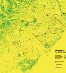
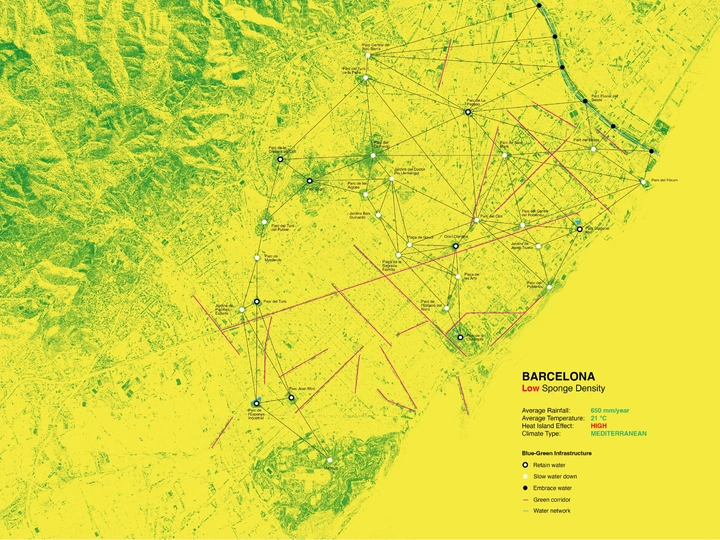
My current work proposes the mapping of three different cities: Barcelona, Edinburgh, and Xiamen. Understanding that mapping is a critical and multi-layered spatial practice that can uncover ecological relationships and territorial logics that are invisible within decentralised planning systems. It can also act as a tool to bridge fragmented interventions and enable the development of meso-scale ‘sponge ecosystems’ that operate at the scale of watershed, corridor, and district.
Through empirical observation, the amount of permeable areas of these cities is categorised according to how rainwater is managed: retained, slowed, or embraced. Systems that retain the surface water are, for instance, ponds, lakes, and underground water storage. Systems that slow down the water are bioswales, rain gardens, and meadows. Systems that embrace the water are mangroves, wetlands, and fluvial parks.
By categorising the permeable areas of the city based on water management, a clearer picture is achieved about how surface water circulates through the city and in what exact areas it is mitigated by one of the three methods above. This opens new research directions that can include the study of potential links between green infrastructure to propose the possibility of major sponge ecosystems in consolidated cities, as well as the identification of whether floods happen more frequently in public or private lands by overlapping cadastral boundaries with flood areas.